


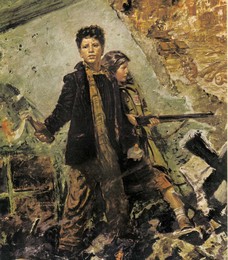



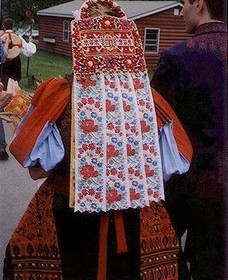

Adapted from the original Hargita County Council tourism page, with place names given in Hungarian only.
General Presentation
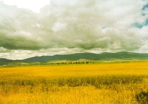
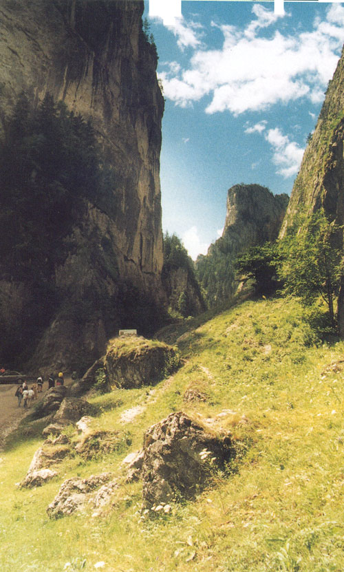
Hargita county is situated approximately in the central part of Historical Hungary (Erdély), on a surface of 6,610 square km. Its relief is formed by the mountains of Görgény, Nagyhagymás, Csík, and Hargita. From the highlands the relief descends through volcanic plateaus to the hilly areas and depressions where the human communities are found. The climate is characteristic of hilly areas, with long, frosty winters and short, usually warm summers. The hydrographic network is formed by a large number of rivers and lakes — chief among them the Maros in the west, the Olt in the south, the Beszterce and Tatros in the east, and the Nagyküküllő and Kisküküllő in the south-west. The volcanic mountains give rise to some 2,200 mineral water springs.
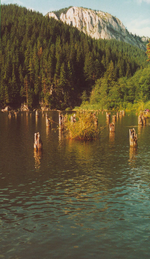
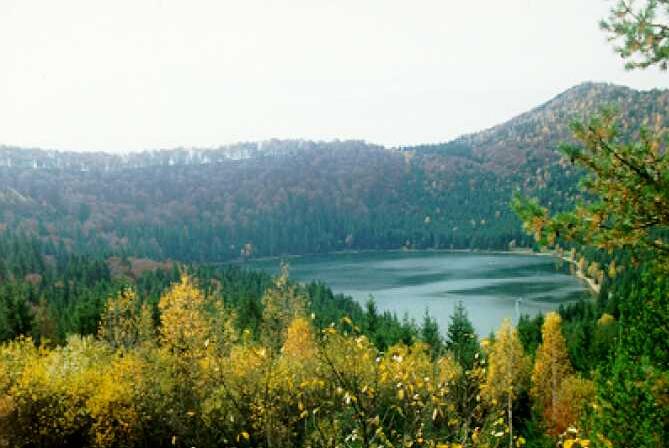
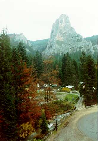
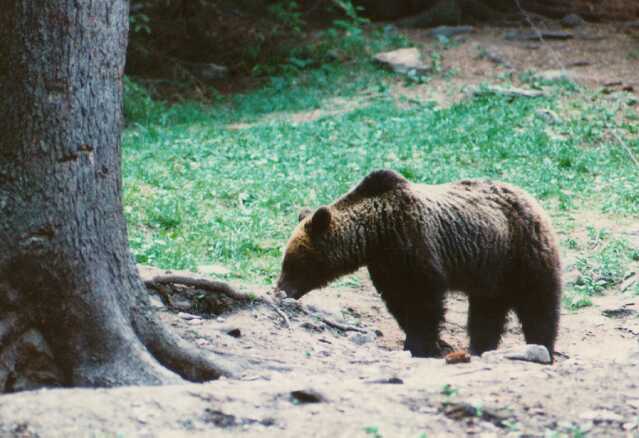
Hargita county holds the region’s only lake of volcanic origin, Szent Anna tó, set in the volcanic crater Csomád at an altitude of 950 m. Another unique lake, Gyilkostó (the “Red Lake”), is a rarity formed by natural obstruction. The county’s underground mineral resources include iron ore, copper, kaolin, salt, clay, limestone, and mineral water. Woodlands cover more than 30% of the county — larch, pine, beech, and oak — home to the Carpathian brown bear, wild boar, marten, wolf, grouse, and eagle, and to mountain streams rich in fish. The forests also yield strawberries, raspberries, blackberries, mushrooms, and medicinal plants.
Population
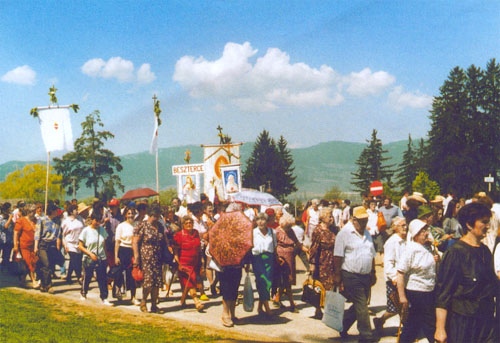
The population of Hargita county — at the end of 1994 — was 348,499, of which 48.6% lived in urban settlements and 51.4% in rural areas. Of the inhabitants, 85% were Hungarian, 14% Romanian, and 1% of other nationalities. By religion: 65% Catholic, 13% Orthodox, 13% Reformed, 7% Unitarian, and 2% of other faiths.
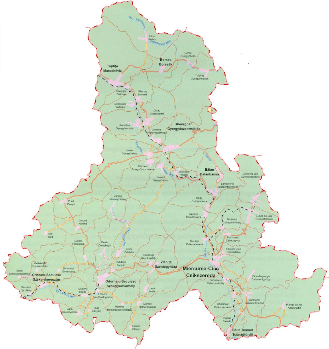
There are 9 urban settlements: Csíkszereda is the county seat, which together with Székelyudvarhely forms the two most important economic centers of the county. The other towns are Gyergyószentmiklós, Maroshévíz, Balánbánya, Székelykeresztúr, Szentegyháza, Borszék, and Tusnádfürdő.
The rural population lives in 285 villages and communities, including: Etéd, Szentábrahám, Bélbor, Fenyéd, Kápolnásfalu, Csíkszentgyörgy, Gyergyócsomafalva, Csíkkarcfalva, Gyergyóholló, Korond, Csíkdánfalva, Oroszhegy, Gyergyóditró, Székelyderzs, Boldogfalva, Csíkszépvíz, Galócás, Gyergyóalfalu, Gyergyószárhegy, Lövéte, Gyimesközéplok, Gyimesfelsőlok, Farkaslaka, Homoródszentmárton, Homoródalmás, Csíkszentmihály, Bögöz, Oklánd, Csíkpálfalva, Kászonaltíz, Parajd, Gyergyóremete, Románandrásfalva, Salamás, Újszékely, Csíkmadéfalva, Csíkszentkirály, Csíkszentdomokos, Csíkszentmárton, Csíkszentsimon, Várhegy, Gyergyóújfalu, Siménfalva, Gyergyótölgyes, Tusnád, Kányád, Székelyvarság, Gyergyóvasláb, and Zetelaka.
Transport
An over 300 km railway network crosses Hargita county in different directions, connecting it with neighboring counties. The total length of national and county roads exceeds 1,500 km; railways run to 215 km. The density of the communication network is lower than in other counties, owing to the mountainous terrain.
Economic Profile
The county’s economy has gone through an intensive restructuring process, showing a slight stabilization in recent years as production and exports have grown. A private sector emerged after 1990, made up of a large number of small and medium-sized enterprises, and represents a growing share of the economy — by the end of 1994, 4,807 of the 5,150 registered enterprises were private. The main industrial branches are tied to the county’s natural and underground resources: iron, copper, kaolin, salt, and mineral water extraction; wood felling and processing; light industry; food processing; and engineering. Manufacturing, folk art, tourism, and agriculture round out the county’s economy.
Agriculture
On 92,735 ha of arable land, the region’s most important crop is the potato, alongside sugar beet, barley, rye, and oats in smaller quantities. Over 300,000 ha of pasture provide excellent conditions for livestock raising, another main branch of the county’s agriculture.
Tourism
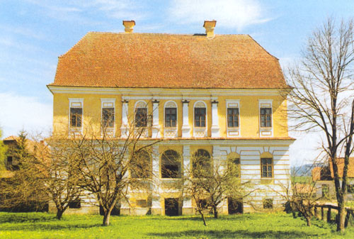
Hargita county has important and valuable resources for tourism: a varied terrain, wonderful sights, more than 160 cultural monuments, and world-famous spas and mountain resorts such as Borszék, Tusnádfürdő (with Szent Anna tó), Marosfő, and Gyilkostó (the “Red Lake”) draw growing numbers of visitors every year. Mineral water springs, sulfurous mofettas, mud baths, and therapeutic peat constitute a valuable resource that could be developed further.
Short History
The territory of Hargita county has been inhabited since time immemorial; old settlements discovered in the area attest to different material and spiritual cultures across the centuries. During the 10th and 11th centuries, the Székelys settled here. They spoke Hungarian and were entrusted with defending the borders of Erdély (Transylvania); in exchange, they were permitted to govern themselves under their own laws. The Tatars overran the county several times — in 1241, 1661, and 1694 — killing many and burning down everything in their path. The existence of many settlements is first recorded in 1332–1333; from this period also dates the presence of some Romanian communities in the area.
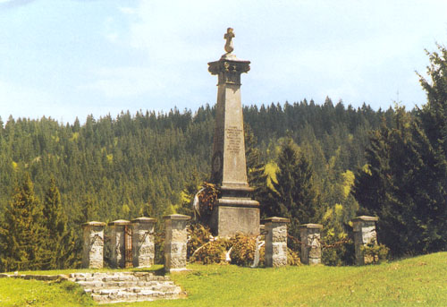
Numerous wars shook the land: the Székelys fought the Ottomans for years, and later resisted Habsburg rule in defense of their independence and autonomy — in 1690, 1764, and in the great revolution of 1848. Erdély (Transylvania) remained part of Hungary until the end of 1918. Following the 1920 Treaty of Trianon, the region was transferred to Romanian administration, beginning a new phase in the political and economic life of the Székelys.
Képek — Hargita Megye
Csíkszereda & környéke
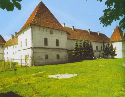
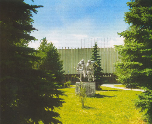




Csíksomlyó
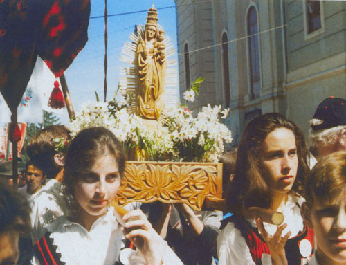
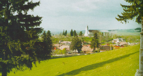
Székelyudvarhely
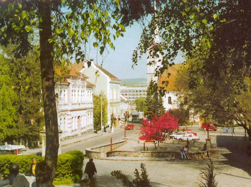


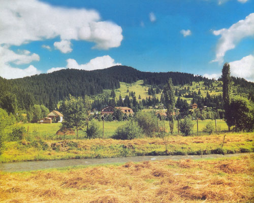

Székelykeresztúr


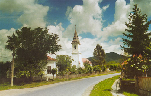
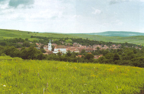

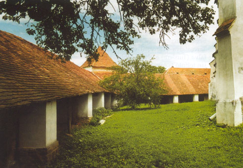
Korond


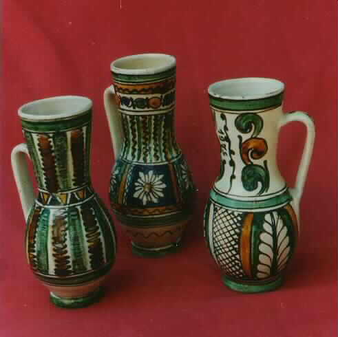

Gyilkostó (a Vörös-tó)

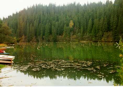

Szent Anna tó
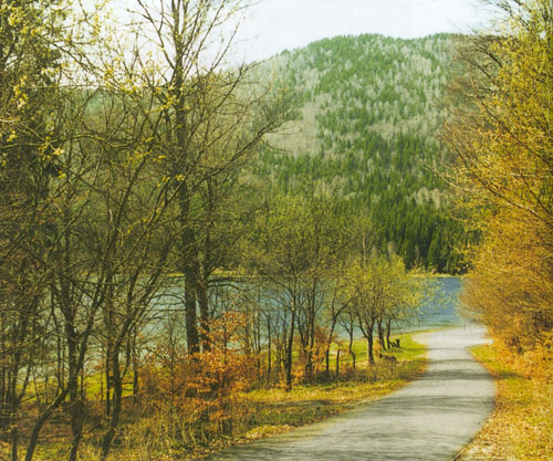

Gyimes


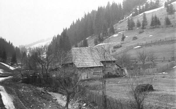

Gyergyószentmiklós & Maroshévíz

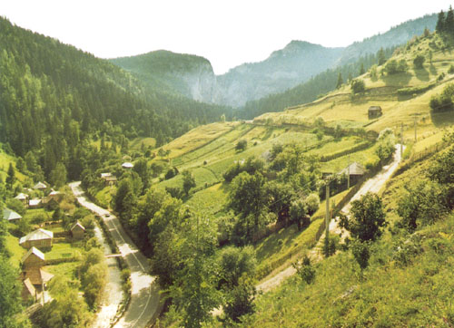

Egyéb települések
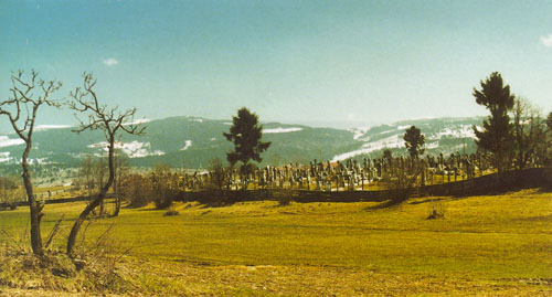


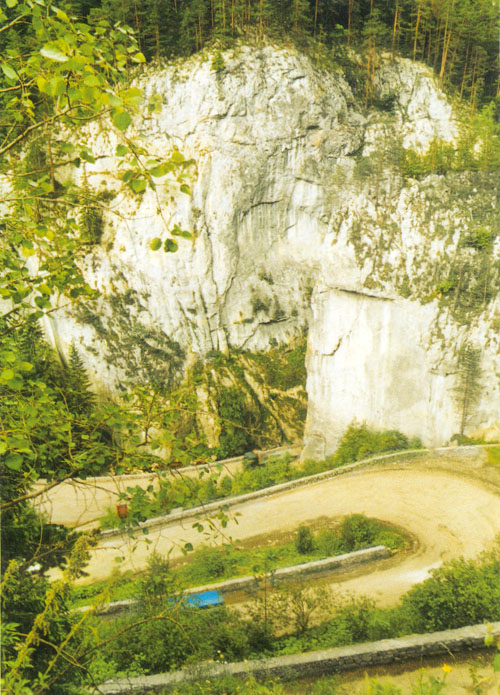
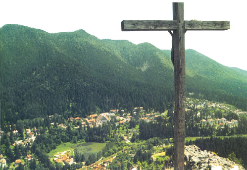

Hargita hegység
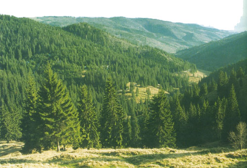

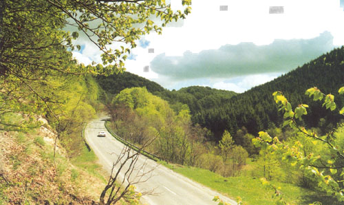
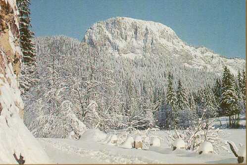


További képek







 Mondák
 Vicc
Vicc Költő / Író
 Népdal